
El Cajon Neighbors by Block
A block lookup works only when each source is asked a narrow question. GIS shows adjacent polygons. The assessor describes parcel facts and values, with ownership available through a permitted county channel. Deeds show recorded parties, not every person near a property. Voter data is purpose-limited. Community groups may share a contact point, but they do not publish a complete resident roster. Historical criss-cross books show a listed name at a past address.
| Source | What It Shows About a Block | Access |
|---|---|---|
| El Cajon GIS Hub | Adjacent parcels, APNs, city line, ZIP, zoning, projects, and districts | Free interactive map |
| San Diego assessment roll | APN, situs, values, characteristics, and ownership through phone or kiosk | Address or APN online; owner names withheld online |
| Recorded documents | Deed parties, transfers, liens, releases, and recording dates | Index 1970-present; image kiosk or copy |
| Permits and code files | Work, applicants, contractors, inspections, and address case history | City online services or records request |
| Approved voter file | Registered voters and districts when a qualifying purpose permits release | Personal lookup or controlled application |
| Historical criss-cross directory | Listed occupant or business by street and number in a past year | Library or digitized volume |
| Neighborhood channel | Voluntary contact, watch, or association information when published | Group contact, not a public roster |
Owners, listed occupants, and nearby households are not interchangeable. An owner may receive tax mail elsewhere. A parcel may contain several units. A historical directory may list one subscriber or householder. The table is useful because it keeps a map result from being overstated as a person result.
Mapping El Cajon Neighbors by Parcel
The El Cajon GIS Hub is the starting point for the adjacent-parcel method. Search the address or use the map, select the target polygon, note its APN and boundary, and then click each parcel that shares a line or sits across the nearby frontage. Turn on ZIP, city boundary, zoning, council district, and project layers only when they answer the next question. A GIS popup gives location context, not title or occupancy.
- Enter the full address in the map locator and choose the matching parcel.
- Save the target APN, situs spelling, parcel shape, and jurisdiction layers.
- Select each adjoining polygon and record only the parcel facts needed for the research.
- Use ARCC’s permitted phone or kiosk channel for ownership information, parcel by parcel.
- Stop at the boundary and change custodians if the parcel is county territory outside the city.
There is no verified public radius-owner export in the city hub. The map must be read one polygon at a time. For the full named-street chain, the El Cajon street directory workflow is the better route, because a block search should not be stretched into a whole-street claim.
El Cajon Neighbors and Parcel Households
A parcel is land, not a family unit. An apartment parcel can return one owner and several units. A mixed-use parcel can join a shop and a residence. A tax mailing address can point to an owner in another city. A homestead or principal-residence indicator may support a clue, but it is not a public list of all people at the address. Utility, delivery, DMV, and protected-person data remain outside an ordinary block search.
Apartment and condominium maps need extra care. The polygon may describe a parent parcel, while unit records, association files, or private management records are not open neighborhood lists. Use a deed or permit only for what that record shows. Do not infer that every person attached to an owner, applicant, or business is a nearby neighbor.
Note: A parcel can establish geography and a lawful ownership route, but it cannot establish the makeup of a household.
El Cajon Neighbor Ownership Channels
San Diego County’s secured assessment search accepts an address or APN and can return situs, assessed land and improvement values, exemption indicators, lien date, and change notices. Owner names are not displayed online under Government Code section 7928.205. ARCC provides public ownership and address information by phone at (619) 236-3771 or through public kiosks. That phone and kiosk path is part of an accurate neighbors search, not a workaround to publish suppressed names.
For a transfer, use the owner name in the Official Records Index. The index reaches 1970-present and can show a recorded party, document type, date, and number. Images are available at a kiosk or by copy request. A deed proves a recorded transaction. It does not prove that the grantee lives at the parcel or that the same person remains there.
The San Diego County Owner Alert service is a different tool. It can monitor up to ten names and ten APNs for a matching recorded instrument and send a document number and index link. It does not reveal document contents or create a neighborhood roster.
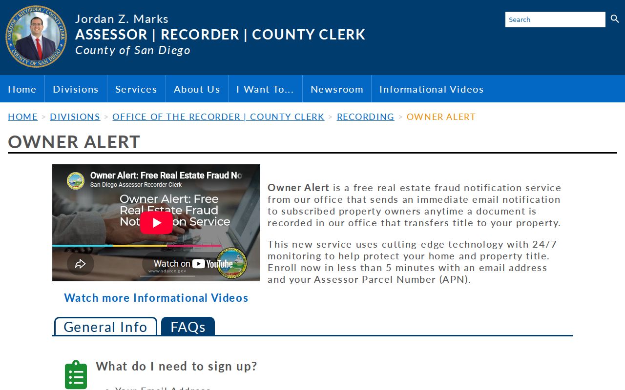
The alert image illustrates a defensive property notice channel. A match still needs the ARCC index, kiosk, or copy process before anyone can interpret the instrument.
El Cajon Block Layers: ZIP and Zoning
Neighbors are also a civic geography question. The GIS Hub includes city boundaries, ZIPs, zoning, council districts, street projects, parcel information, and other map layers. Place the layers in a useful order: target parcel, adjoining parcels, city line, ZIP, zoning, then district or project. Keep a screenshot with the legend and date when a boundary affects a request.
Postal and civic lines do not always agree. ZIP 92019 reaches Rancho San Diego and Dehesa postal territory. ZIP 92021 reaches Bostonia patterns with substantial unincorporated county geography. A city mailing line can therefore send a reader to the wrong permit or code office. County GIS and ARCC decide parcel jurisdiction, while USPS decides delivery routing.
Permits and code cases add change over time. Search the city online-services path by address, APN, permit or case number, type, status, and date when those fields are visible. If the record is not posted, submit a focused property request. A permit can identify work, applicant, contractor, and inspection dates, but it is not a list of everyone on the block.
Voter Files and El Cajon Neighbors
California My Voter Status is an authenticated personal service. It asks for first and last name, date of birth, and a California driver license or ID route or the last four digits of a Social Security number. It can show the authenticated record’s registration status, location, party preference, language preference, polling place, election information, and ballot status. It cannot be used to enumerate a block.
The San Diego County voter information lookup image shows the county route for voter information. Elections Code section 2194 and 2 CCR sections 19001-19013 restrict voter-file access to qualifying purposes and requesters. A statewide file is $100. A specific-voter request for up to ten identified people requires full name, date of birth, county, and residence address, with a $30 per-record charge capped at $100. Confidential voters and identifying numbers are withheld.
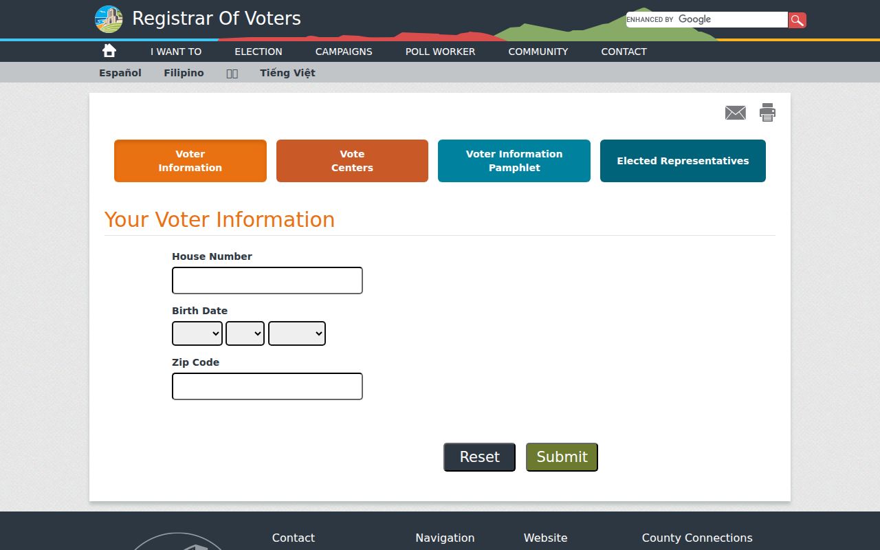
The county voter lookup can help a person check their own status, while a purpose-limited file follows a separate application, security, and signature process. Neither is a public list of El Cajon neighbors.
El Cajon Watch and Fletcher Hills
Community groups add a human contact layer, but their reach is voluntary. El Cajon’s Neighborhood Watch material describes a resident-organized program and a Block Captain who contacts neighbors and works with El Cajon Police. Site navigation identifies Fletcher Hills Neighborhood Watch. No authoritative citywide association inventory or complete member directory was located.
| Neighborhood Watch | Resident-organized safety contact and block communication; no public membership roster is established. |
|---|---|
| Block Captain | A contact role for reaching neighbors and working with police, not a list of households. |
| Fletcher Hills reference | A named Neighborhood Watch area in city navigation; verify current contact details through the city. |
| HOA sewer billing | An administrative contact or questionnaire route, not a complete association or resident directory. |
Group pages may name officers or a public contact. Current member lists, private email chains, and household rosters should not be assumed to be public. For a civic connection, use the published contact and ask what boundary or service it represents.
Past El Cajon Neighbors in Directories
Historical criss-cross directories can show a listed name opposite a street number in a past year. San Diego Public Library’s California Collection documents city directories from 1886 through 2021, with El Cajon sections in verified 1930, 1934, 1937, and 1938 volumes and suburban books covering 1955-1960. These sources can show how a block was listed before a modern map, but they do not reveal every household member.
Use the street section for a known number, then search the name in the alphabetical section. Pair a result with a census through 1950, a San Diego Union notice, a map, or a permit date. OCR can corrupt names. A person can be listed under a spouse, rural route, business, or nearby community. The best block history keeps the exact book year and page with the entry.
The San Diego County Library local-history policy image shows the wider reference and collecting role that supports this work. Ask the El Cajon branch for shelf or catalog help when a local year is not stated online.
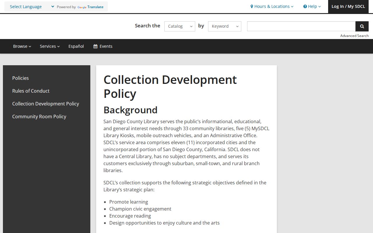
Library context helps explain what a historic block record can contribute. It should be paired with a dated official record when the question turns on ownership or a legal event.
Official Rolls and Commercial Neighbor Tools
Official records and commercial neighbor tools serve different purposes. A county roll or deed has a named custodian and a defined record field. A commercial product may compile public, licensed, and inferred data into a convenient result, but it can lag transfers, merge same-name people, omit people who are not in its feeds, or give no clear source date. Category comparison is useful only when the official limitations remain visible.
| Source family | Strongest use | Block-level blind spot |
|---|---|---|
| GIS and assessment | Parcel geography, APN, values, and jurisdiction | No household roster; online owner name restriction |
| Recorded documents | Transfers, liens, dates, and named parties | Transaction is not occupancy or a complete block list |
| Voter channels | Authenticated status or approved purpose-limited fields | No open neighbor export; confidential records withheld |
| Commercial tools | Convenience leads from mixed data sources | Stale, inferred, merged, and difficult to verify |
A defensible block lookup uses the smallest record set that answers the civic or personal question. It does not turn a map, a tax record, or a search result into a claim about a living neighbor.
Privacy Limits Around El Cajon Neighbors
California privacy rules close many paths around a block. Safe at Home participants use a substitute address. Assessor owner names are not posted online. Voter identifiers, signatures, and confidential voter records are withheld. Utility, delivery, DMV, and protected-person data are not ordinary public lookup fields. A public record can be accurate while still being too narrow to identify a household.
Lawful use. El Cajon neighbors research is for getting to know a block, reconnecting, civic understanding, and personal safety awareness. Using records to watch, harass, threaten, or intimidate someone can violate California law.
When a city record is not posted, a precise California Public Records Act request may ask for a releasable permit, map, or case record. The law does not require the city or county to create a radius list or disclose exempt personal information. Verify any result with the office that holds it, and leave protected people out of a block summary.