
El Cajon Previous Residents Era Coverage
Every era has a different keeper. Modern deed work begins with the San Diego County Assessor/Recorder/County Clerk, while earlier title material moves to books, indexes, microfilm, and County Archives. Directories and census schedules add listed households, not a complete record of every person. The table shows where each source fits before a backward search begins.
| Source | Years It Covers | Where Held | What It Shows |
|---|---|---|---|
| Official Records Index | 1970-present | San Diego ARCC online | Recorded party, type, date, and document number |
| Older deed indexes and images | Indexes 1846-1969; images 1845-1930; Official Records 1931-1989 | County Archives and recorder holdings | Grantor-grantee chain, deeds, maps, and legal descriptions |
| SDPL city directories | 1886-2021 regional run | Central Library Special Collections | Listed names, addresses, occupations, and yearly continuity |
| Suburban directories | 1955-1960 | San Diego City Archives and SDPL | Address-to-name bridge for El Cajon suburbs |
| Federal census | Through 1950 | NARA, libraries, genealogy databases | Household members, relationships, tenure, and geography |
| San Diego Union | 1868 onward | SDPL hard copy or microfilm | Sales, obituaries, legal notices, and community events |
| Permits | Exact digital start not located | El Cajon Community Development | Work dates and applicants or contractors |
| Sanborn maps | 1867-1970 database | SDPL map and eLibrary collections | Building footprint, use, material, and number context |
The San Diego County Archives information is the route for older record groups and targeted requests. It is better to name a series and date range than to ask for a complete history with no parcel or legal description.
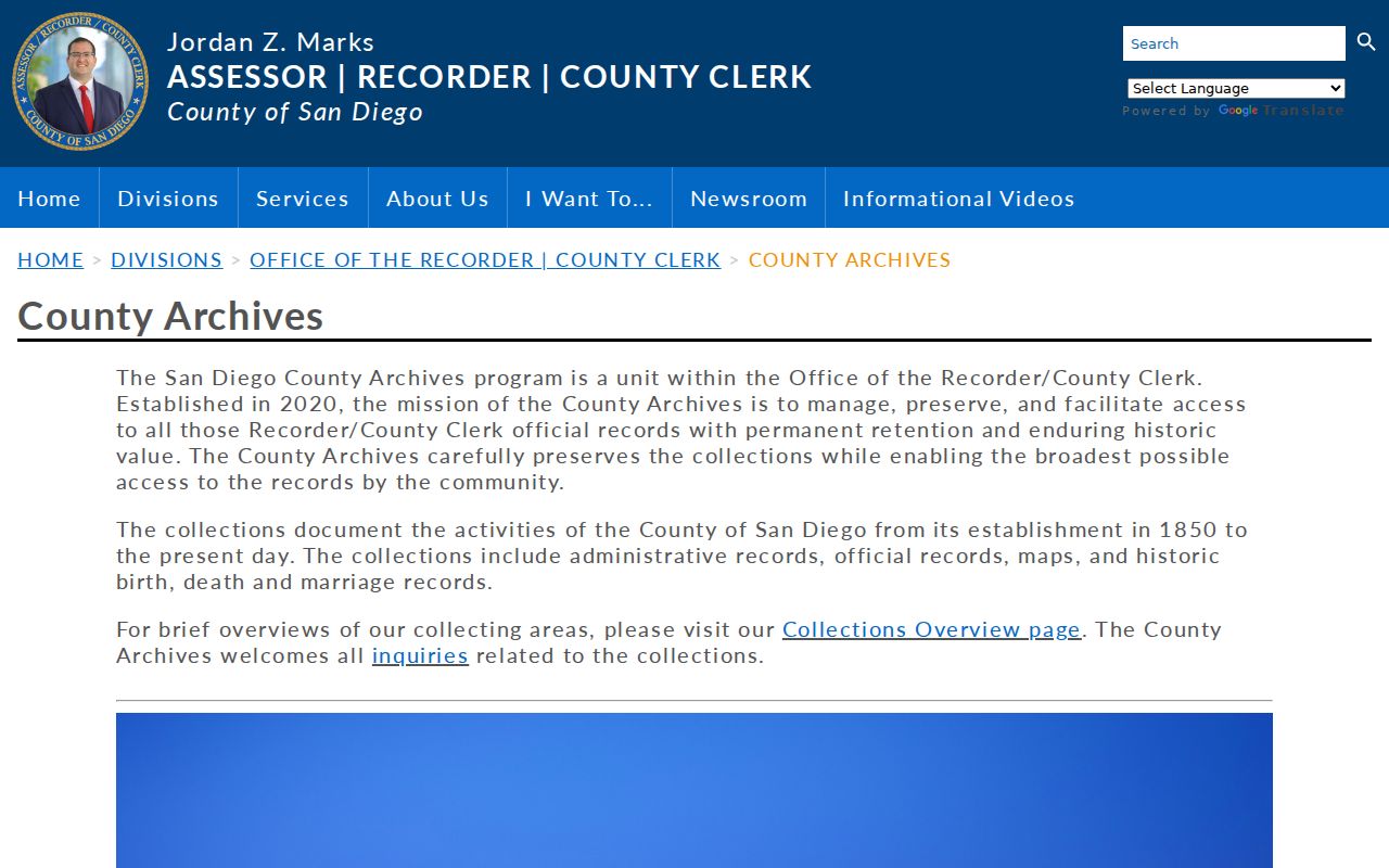
The archive image belongs at the start of a backward trail because its coverage explains why a modern online result cannot carry the search into the nineteenth century.
El Cajon Previous Residents: Start Parcel
Preserve the exact address before searching for previous residents. Enter the street number and name in the secured assessment search or locate the parcel in the El Cajon GIS Hub. Record the APN, situs spelling, parcel shape, subdivision, lot and block references, assessed values, and any map clue. The APN is the bridge between a place on the map and a county record system.
The online assessment roll shows address or APN results, lien-date values, land and improvement values, exemptions, and change notices. Owner names are withheld online under Government Code section 7928.205. The Assessor’s Public Information channel at (619) 236-3771 and county public kiosks can provide ownership and address information. A tax mailing address may identify where correspondence goes, but it does not prove that anyone occupied the parcel. This first parcel note keeps a previous residents search tied to a place instead of a same-name guess.
Use the map for jurisdiction too. “El Cajon” can mean incorporated city, a postal area outside the line, the historic valley, or El Cajon Boulevard in the City of San Diego. A city permit request can fail when the parcel is county territory, even if the mailing line says El Cajon.
El Cajon Deed Chain for Previous Residents
Once the parcel and present ownership channel are anchored, follow the legal title trail. The San Diego Official Records Index is online from 1970 to the present. Its free index can show parties, document type, recording date, document number, and legal-description clues. Images are viewed at a county kiosk or obtained as a paid mailed copy. Since December 9, 2024, APN searching is removed from the online index under AB 1785, although public kiosks retain APN searching.
- Pull the current APN, situs, and legal-description clues from the assessment and map layers.
- Obtain the permitted owner name through ARCC phone or kiosk access.
- Search the owner as grantee, then match the purchase deed by date, spouse or trust name, and legal description.
- Read the deed for the grantor, grantee, recording number, vesting, and land description.
- Search the seller as a prior grantee and repeat until the online period ends, then move to older books, indexes, or microfilm.
The ARCC recording guidance explains the current online and kiosk split. The chain is stronger when every step matches the parcel or legal description. Each confirmed transfer narrows the previous residents trail, while a same-name deed with no land match is only a candidate.
El Cajon Past Residents: Legal Descriptions and Past Owners
A legal description is the land identifier inside a deed. It may refer to a subdivision lot and block, a recorded map, or another description that is more stable than a street label. A grantor is the person or entity conveying an interest. A grantee receives it. A chain of title is the linked sequence of recorded transfers that connects a parcel across time.
- APN
- The assessor’s parcel number. It identifies a tax parcel, but it is not a deed’s full legal description.
- Situs address
- The physical location assigned to the parcel or improvement.
- Mailing address
- The destination for tax correspondence, which may be somewhere else.
- Grantor and grantee
- The parties who transfer and receive the recorded interest.
- Chain of title
- The linked set of transfers used to move backward from one deed to an earlier one.
Keep the parcel map, deed image, and index entry together. Older documents may use a subdivision name, rural route, or boundary description instead of today’s number. Compare the map and legal description before treating a seller with the same surname as the prior owner.
El Cajon Previous Residents: 1970 Cutoff and Archives
The 1970 Official Records cutoff is a routing instruction, not a dead end. ARCC’s online index reaches 1970-present, while County Archives, formally established in March 2020, reports deeds from 1846-1918, declarations of homestead from 1860-1931, leases from 1869-1934, patents from 1850-1930, Torrens certificates from 1919-1955, wills from 1848-1938, and county maps from 1854-present. These series can have gaps, but their dates support a targeted request.
The East County Office & Archives is at 10144 Mission Gorge Road in Santee. The research contact is archives@sdcounty.ca.gov and (619) 237-0502. Ask for the parcel’s former subdivision, grantor or grantee, legal description, and date range. Older work may require an appointment, a counter search, books, or microfilm rather than a web form.
Channel change. APN searches left the online recorder index on December 9, 2024, but remain at five public county kiosks. Start with the map and carry the APN into the permitted channel.
San Diego County records began in 1850, before El Cajon incorporated in 1912. Early references can use county, township, precinct, Rancho Cajon, subdivision, or valley language. That older label is a search key, not evidence that the parcel was outside the area.
El Cajon Directory Years for Past Residents
Deeds show land transfers. Directories show a listed person or business at a time. The regional San Diego Public Library shelf runs from 1886 through 2021, and digitized suburban books verify El Cajon coverage in 1955 through 1960. Those suburban volumes are the best documented bridge from a mid-century street to a listed name, but their front matter must be checked for scope. A directory is a snapshot, not census-night proof.
The numerical or criss-cross section is the house-history tool. Find the street, move through house numbers, record the listed occupant or business, then pivot the name into the alphabetical section. Pair the result with a deed date, a map, or a census year. If a book drops a name, check a spouse, rural route, nearby community, or publisher coverage before deciding that the person left.
The digitized directory collection remains a reference source after July 1, 2025. Save the PDF part and printed page along with the name. OCR errors can change a surname or street, so the page image controls. The collection details and entry-reading method are also set out in the El Cajon city directory resource.
Past El Cajon Residents in Census
Previous residents need a second layer beyond the title chain. Federal census schedules released through 1950 can show household members, relationships, age, tenure, and address geography. The San Diego Union run from 1868 onward can add sale notices, obituaries, legal notices, and community events. Neither source should be read as a current resident file, and both have their own search and image limits.
Use a simple period pairing: choose the nearest directory year, locate the same street or place in the census, then compare names, ages, spouse, children, and tenure. If an occupant disappears, search the newspaper for an obituary or move, then check probate and deed records. Probate can connect a decedent to an estate representative or heirs, subject to redaction and clerk access. An obituary remains secondary evidence.
For a former classmate or family member, local yearbooks, historical society files, and library reference staff may provide the missing link. A listed name is a lead to verify, not a reason to publish a private conclusion about a living person.
Lawful house history. Use dated deeds, directories, maps, and family-history sources for personal, lawful research. Never use a former-resident trail to watch, harass, threaten, or intimidate anyone.
El Cajon Maps and Permit History
Sanborn maps can show a building footprint, use, construction material, and street-number context for a period. The California map database covers 1867-1970, but exact El Cajon sheets and years must be verified in the library index. A map can show that a building existed or changed shape. It cannot name every person who occupied it.
El Cajon planning and building records can date a permit, inspection, alteration, applicant, owner, or contractor when the record is releasable. The exact start of a complete digital permit run was not located. Use the city online-services path for visible activity, then request a releasable permit jacket by address, APN, permit or case number, project type, and date range. Code files can withhold complainant or active-investigation details.
Street names and numbers can change with subdivision growth, annexation, widening, or a new road system. No authoritative citywide renumbering year was located. Compare historic maps, directory front matter, legal descriptions, and city engineering records instead of inventing a single conversion date.
El Cajon Address Changes Over Time
An El Cajon address can describe an incorporated parcel, a county parcel using the postal city, a historic valley location, or a different city street such as El Cajon Boulevard. The period matters. City mail delivery began in 1942. Main Street widened in 1935. Postwar annexation changed which office held permits and how directories labeled a place. Interstate 8’s completion in the 1960s divided older city and Bostonia patterns.
Use a map overlay before sending a request. If the parcel sits outside El Cajon, the county may hold the assessment, deed, or permit. If a directory uses a community label, search the county and valley terms as well as the city name. This prevents a postal clue from becoming a false city claim.
Previous residents are best documented as a dated sequence: parcel and legal description, recorded transfer, listed household, map or permit context, and corroborating newspaper or probate evidence. Leave the uncertain link marked when the sources do not meet.