
El Cajon Street Directory Walkthrough
A reliable by-address search starts with the parcel layer. Enter a house number and street name in the secured assessment search, preserve the APN and exact situs spelling, then open the El Cajon GIS Hub to inspect the lot and its nearby polygons. Ownership comes through an ARCC phone or kiosk channel because owner names are not displayed on the web assessment roll. The recorder search then uses the owner or another recorded party, plus the legal description and date, to find the deed trail.
Each step answers a different question. The map locates the parcel. The assessment result describes value and characteristics. A recorded instrument shows a transaction. A permit dates work. A historical criss-cross volume shows a listed householder or subscriber. Voter information is not a public street directory, so it is available only through personal authentication or a qualifying file request.
- Run the full street address through the San Diego secured assessment roll and save the APN, situs, lien-year data, and assessment result.
- Open the El Cajon GIS Hub, select the parcel, and turn on ZIP, city-boundary, zoning, or council-district layers as needed.
- Ask ARCC for the permitted ownership or mailing-address channel by phone or kiosk, then search the recorder by party name and recording date.
- Match the deed image or legal description to the parcel, then repeat the grantor-to-grantee chain for earlier transfers.
- Use city permit files, controlled voter data, or library street guides only for the narrower question each record can support.
The result is a documented address trail. It is stronger than a name-only guess and more honest than calling a parcel record a current household list.
El Cajon Address Records by Street
Several record sets accept an address or connect to one. They should remain separate when the evidence is weighed. A property roll can identify an APN and assessed value. GIS can show adjacency and jurisdiction. Deeds can name parties to a transfer. A permit can date work and identify an applicant or contractor. A historical street guide can list one householder or subscriber. None is a complete list of all people at a property.
| Record Set | Keeper | What It Shows | Access |
|---|---|---|---|
| Secured assessment roll | San Diego Assessor | APN, situs, values, exemptions | Free address/APN search; owner phone or kiosk |
| Parcel GIS | El Cajon / SanGIS | Boundaries, adjoining parcels, ZIP, zoning, projects | Free interactive maps |
| Recorded instruments | ARCC Recorder | Parties, type, date, number, legal-description clues | 1970-present index; image kiosk or mailed copy |
| Permit or code file | El Cajon Community Development | Work, applicant, contractor, inspections, case chronology | Online path or CPRA request |
| Voter file | Registrar of Voters | Registered voters and districts in an approved file | Personal status or qualifying-purpose request |
| Criss-cross directory | Library or archive | Historical listed householder or subscriber by number | In person or digitized historical volume |
The APN is the bridge for present parcel work. The exact address is the bridge for permits. The party name and legal description are the bridge for deeds. A street name alone is too loose, especially when an El Cajon mailing address lies outside the incorporated city or resembles El Cajon Boulevard in San Diego.
El Cajon Assessor Search Fields by Address
The secured assessment page asks for one of two main keys: a street number and street name, or an APN. The research inspection notes a full pattern such as 123-456-78-90, with a shorter minimum accepted in some controls. Enter a broad street search first, then add the parcel identifier if the map or prior record supplies it. The response can say “No property found,” so normalize directionals, suffixes, and unit details before treating a miss as a gap.
Online results can show the APN, situs, assessment year, lien date, land and improvement assessed values, total, exemption indicators, factored base-year value, and change or appeal notices. The owner name remains redacted online. Public Information at (619) 236-3771 and county kiosks are the documented ownership route. A print control can preserve the assessment notice for a research log.
| Parcel Number | Text field; use the hyphenated APN format supplied by the map or county. |
|---|---|
| Address | Text field; enter street number and street name, then refine the unit if needed. |
| Search | Runs the selected key and returns the assessment notice or no-match message. |
| Creates a printable notice of the displayed assessment information. |
The county secured-roll page is the source for the address and APN controls.
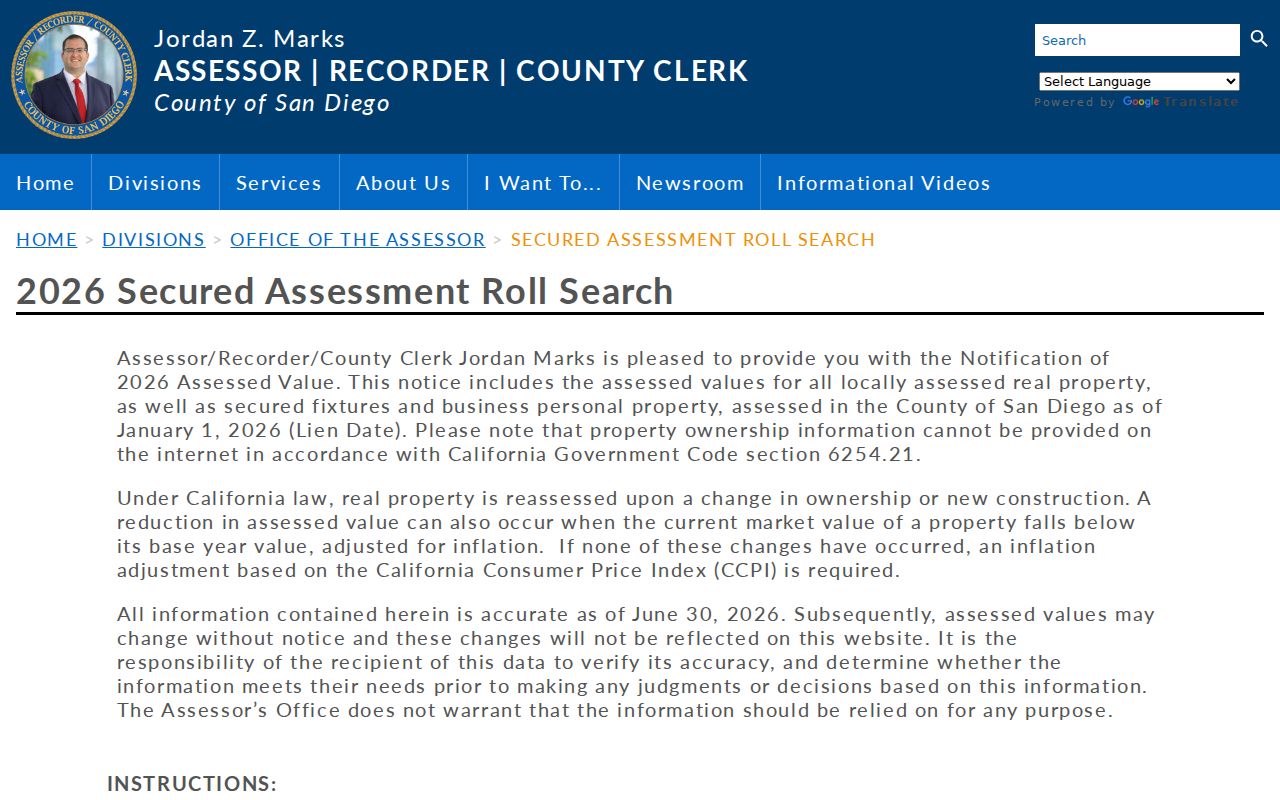
The displayed owner-name restriction is not a technical error. It determines the next step: use the map and value result to prepare a permitted county inquiry.
El Cajon GIS Parcel Walk by Street
The GIS Hub is the street-browse tool. Use its address locator or a map click, select the parcel, read the APN and location popup, and then click adjoining polygons or nearby frontage. Layer controls can add parcels, city limits, ZIPs, zoning, council districts, and projects. A basemap and legend help interpret colors. If a measure or print tool is enabled, retain the legend and date with the saved map.
GIS answers geography, not title. An adjoining polygon may be a separate tax parcel, a shared complex, a public strip, or a lot with a different jurisdiction. The city’s map can also show a postal area that extends beyond city limits. Compare the selected parcel with county parcel resources linked by ARCC before sending a city permit request.
| Address locator | Autocomplete text; choose the suggested full address when offered. |
|---|---|
| Map click / Select | Opens the parcel popup and supplies location context. |
| Layers | Toggle parcel, boundary, ZIP, zoning, district, and project layers. |
| Zoom and extent | Move from one parcel to the immediate block without treating the view as a roster. |
| Legend / basemap | Explains symbols and the map backdrop. |
For a block-sized question, note only the APNs and parcel facts needed for the task. Then ask ARCC about ownership parcel by parcel. There is no verified public radius-owner export in the city hub.
El Cajon Situs and Mailing Lines
A situs address locates the physical parcel. A tax mailing address receives correspondence and may belong to an owner somewhere else. A legal description ties title to a subdivision lot and block or to a metes-and-bounds description. These three labels can point in different directions. A street directory that does not keep them apart will attach a person to the wrong place.
Use the GIS popup and assessment result to preserve situs and APN. Use the ARCC phone or kiosk channel to ask about permitted ownership or mailing information. Use the deed image to read vesting and legal description. A tax payer, exemption, or mailing destination can support a lead, but it does not prove that the named person occupies the situs.
- Situs address
- Where the parcel or improvement is physically located; use the assessment, GIS, or parcel map.
- Mailing address
- Where tax or county correspondence is sent; use a permitted ARCC inquiry or notice.
- Legal description
- Title description using lot and block or metes and bounds; use the deed or recorded map image.
- APN
- Assessor tax identifier for the parcel; use the assessment roll or GIS popup.
ARCC property access guidance describes the phone, kiosk, map, and office choices that follow an online parcel search.
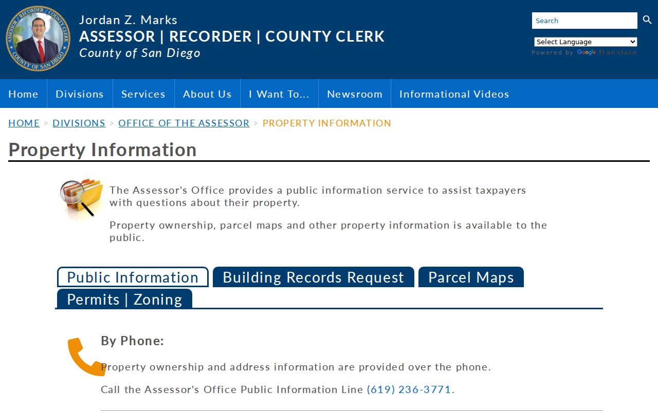
Property access has several channels because one online screen cannot safely or accurately stand in for parcel, title, and occupancy evidence.
El Cajon Deeds After 1970
Once the permitted owner or recorded party is known, search the ARCC Official Records Index by party name, first name, document type, recording date, and document number when available. Try surname, organization, trust, spouse, and spelling variants. Search broad first, then narrow by date and instrument type. A grantor conveys an interest. A grantee receives one. Match both sides to the APN and legal description before declaring a deed part of the chain.
The index covers 1970-present, but the document image is not displayed online. View it at a public kiosk or request a mailed copy. The image can reveal the recorded number, vesting, legal description, and transfer details that a result line cannot. After AB 1785 took effect on December 9, 2024, APN searching was removed from the online recorder search and kept at five public kiosks. Name and document searches remain the practical online modes.
The ARCC recording guidance documents the coverage, image limitation, and APN-search change.
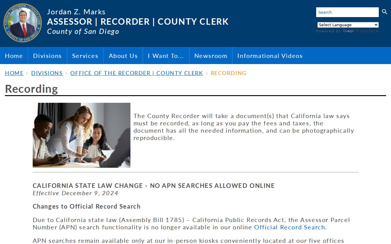
When the index stops at 1970, County Archives, onsite books, microfilm, and a targeted grantor-grantee request take over. The cutoff is a routing instruction, not permission to fill the missing years with a guess.
El Cajon APN Kiosk Change
The 2024 APN change is an important street-directory quirk. A researcher can establish an APN from the assessor or GIS layer, but cannot send that APN through the online Official Records Search in the same way as before December 9, 2024. The county retained APN searching at public kiosks. That means an address-to-deed workflow now moves from web map, to county phone or counter, to kiosk or name index.
Prepare before visiting. Record the exact situs, APN, subdivision or lot-block language, suspected owner or grantor, and likely date range. If the goal is an older deed, ask Archives about the relevant series rather than requesting “everything.” County Archives reports deeds from 1846-1918, older deed images from 1845-1930, Official Records from 1931-1989, and maps from 1854 forward, with gaps possible.
El Cajon Permits Date Buildings
City planning and building services can connect an address to an application, permit or case number, project type, status, issue date, inspection date, applicant, contractor, and related documents when those fields are exposed. The El Cajon Community Development online-services path separates planning and building activity from the city’s Property request route, which can also seek permits, plans, and maps. If a name is absent or redacted online, request the releasable permit jacket from Community Development through the city’s public-record channels.
Permit evidence has a time stamp. It may identify an applicant, owner, architect, or contractor at the time of work. It does not enumerate every person who used the building before or after the project. Code-enforcement files can add a case chronology, but complainant and active-investigation information may be protected. Ask for final or inspection status when the research question is about a completed change.
The city’s CPRA process normally calls for a determination within ten calendar days, with a possible written fourteen-day extension. State the street address, APN, project number, date range, and desired format. That precision lets the city search an existing file rather than inventing an address list.
El Cajon Criss-Cross Street Clues
Historical numerical directories are the street-by-street counterpart to a name index. The 1955-1960 suburban volumes are the strongest documented digitized bridge for El Cajon. In a numerical or criss-cross section, numbered streets appear first, named streets follow alphabetically, house numbers run in order, and a householder or business appears beside the address. Intersecting streets help confirm the block. The same volume may mark telephone numbers, home ownership, or subscriber status.
Start with a house number, transcribe the exact listing, then take the listed surname into the alphabetical section. Note a spouse, occupation, employer, rural route, widow notation, or business address. A rural route or business location can explain why an old entry does not match a modern numbered address. OCR can corrupt a name, so compare the scan with the page image and read the abbreviation key first.
The full historical shelf and entry-reading method belongs with the El Cajon city directory collections. The street directory uses the books only for the historical address clue, not as a substitute for the collection history.
El Cajon Postal Boundaries by Street
ZIP geography can make a street search look cleaner than it is. The city commonly associated with 92019, 92020, and 92021 also has postal references to 92022 and 92090 that are not ordinary neighborhood labels. 92019 reaches nearby Rancho San Diego and Dehesa postal territory. 92021 includes Bostonia-area geography and substantial unincorporated county territory. A mailing city or ZIP does not establish city jurisdiction.
Use USPS address lookup for mail routing and the El Cajon GIS Hub or county parcel map for jurisdiction. If a street appears in a city request but the parcel is outside city limits, send the request to the county custodian. The same rule protects historical work: a directory line may use a postal label that differs from the incorporated boundary of that year.
A street directory should record the postal ZIP, city boundary, county jurisdiction, and historical label as separate fields. No official ZIP-wide residents query exists. Once a ZIP is narrowed, the parcel and street workflow supplies the next precise key.
Voter Access Along El Cajon Streets
My Voter Status authenticates the voter with first name, last name, date of birth, and a California ID or Social Security last-four route. It can show that person’s own status, location, party preference, language preference, polling place, and ballot information. It cannot produce a list of everyone registered along one El Cajon street.
Elections Code §2194 and 2 CCR §§19001-19013 limit voter-file access to allowed purposes and requesters. A qualifying application records requester identity, organization, intended use, security declarations, and signature. A county or statewide file may contain residence or mailing address, precinct, district, party preference, and participation, but protected records and confidential participants remain withheld. Voting history records participation, not a ballot choice.
That access rule is part of a trustworthy street directory. A controlled file can answer a lawful, defined election or research question. It cannot become an informal block roster or a way to reverse a confidentiality program.
Limits of the El Cajon Street Directory
A street directory can show parcels, recorded parties, selected public filings, historical listed subscribers, and approved election data. It cannot show every household member, utility customer, DMV address, delivery record, protected participant, or person who has no public record tied to the address. An apartment parcel may return one tax owner while containing many separate homes. A permit may name a contractor rather than an occupant.
California’s Driver’s Privacy Protection Act protects motor-vehicle address data. Safe at Home protects substitute-address participants. Recorded documents redact sensitive numbers. The assessor suppresses owner names online. Court, vital, and election systems each have their own eligibility or confidentiality rules. A missing result can mean a legal barrier, not a missing person.
Lawful use. El Cajon address records are for personal, lawful research and civic or family-history purposes. Do not use a street search to stalk, harass, intimidate, or harm anyone; verify every result with the custodian before relying on it.
Keep a short research log with the address, APN, source, date, exact result, and unresolved question. That habit makes it easier to move from the street directory to a court clerk, archive, library, county counter, or city request without overstating what the first search showed.